One view, and everything in it.
Drag along the bay, take the islands one at a time, and see where tomorrow’s sun comes up.

Drag to look along the bay
Everything in the frame, left to right.
The same things the pins mark, with the numbers behind them. Bearings are from true north; distances are to the nearest shore, not to a centre.
| In view | What it is | Bearing | Distance |
|---|---|---|---|
| Nidri | The town and its harbour | 69° | 2.2 km |
| Cheloni | Hard against the left edge of the frame | 61–63° | 3.7 km |
| Madouri | The small wooded island off the shore | 73–80° | 3.25 km |
| Sparti | Larger, and a kilometre behind Madouri | 66–77° | 4.4 km |
| Skorpidi | The islet off Skorpios’s northern end | 86–92° | 4.8 km |
| Skorpios | The Onassis island | 93–108° | 4.5 km |
| Geni | The headland closing Vlycho Bay | — | — |
| Meganisi | The long island beyond, 44° of the view wide | 105–149° | 5.9 km |
Behind the islands the skyline is the mainland: the Akarnanika, rising to about 1,590 m and standing 24 to 31 km off across the strait.
The sunrise walks about sixty degrees along this view over the year. In late June it comes up past the left edge of the frame; by August over Sparti; in early September over Madouri; at the equinox straight over Skorpidi; and by the December solstice away to the right, over Meganisi.
Bearings and distances computed from the villa’s own coordinate against OpenStreetMap outlines. Geni’s headland carries no map node of its own, so it is named here but not measured.

Nearly fifteen hours of it in June.
The pale band is daylight — sunrise to sunset, worked out for this hillside rather than for Greece in general. It is at its widest on 21 June, when the sun clears the mainland at ten past six and does not go down until six minutes past nine. By the winter solstice you get nine and a half hours and it is dark by twenty past five. The two steps in the band are the clock changes.
Underneath is the sea, which lags the land by about two months: coldest in March rather than January, warmest in August, and still holding its heat well into October.
Swipe across the year
Daylight computed from the villa’s own coordinates. Sea and air are ten-year monthly means for 2015–2024, from the Open-Meteo archive.
The same year, written down.
The chart above plots these figures. The sea lags the land by about two months: coldest in March rather than January, warmest in August, and still over 23 °C through October.
| Month | Air high | Air low | Sea | Wet days |
|---|---|---|---|---|
| January | 13.2 °C | 7.6 °C | 17.3 °C | 14 |
| February | 14.7 °C | 8.5 °C | 16.5 °C | 10 |
| March | 16.2 °C | 9.5 °C | 16.3 °C | 12 |
| April | 20.1 °C | 12.4 °C | 17.6 °C | 8 |
| May | 24.5 °C | 16.4 °C | 20.1 °C | 8 |
| June | 30.0 °C | 21.1 °C | 24.9 °C | 4 |
| July | 33.6 °C | 23.9 °C | 27.3 °C | 1 |
| August | 33.5 °C | 24.4 °C | 27.8 °C | 2 |
| September | 28.5 °C | 21.0 °C | 26.5 °C | 7 |
| October | 23.8 °C | 17.0 °C | 23.8 °C | 9 |
| November | 19.1 °C | 13.4 °C | 21.8 °C | 13 |
| December | 15.0 °C | 9.7 °C | 18.7 °C | 13 |
Air is measured at the villa’s own coordinates, sea in the channel between Nydri and Skorpios. A wet day is one carrying a millimetre of rain or more.
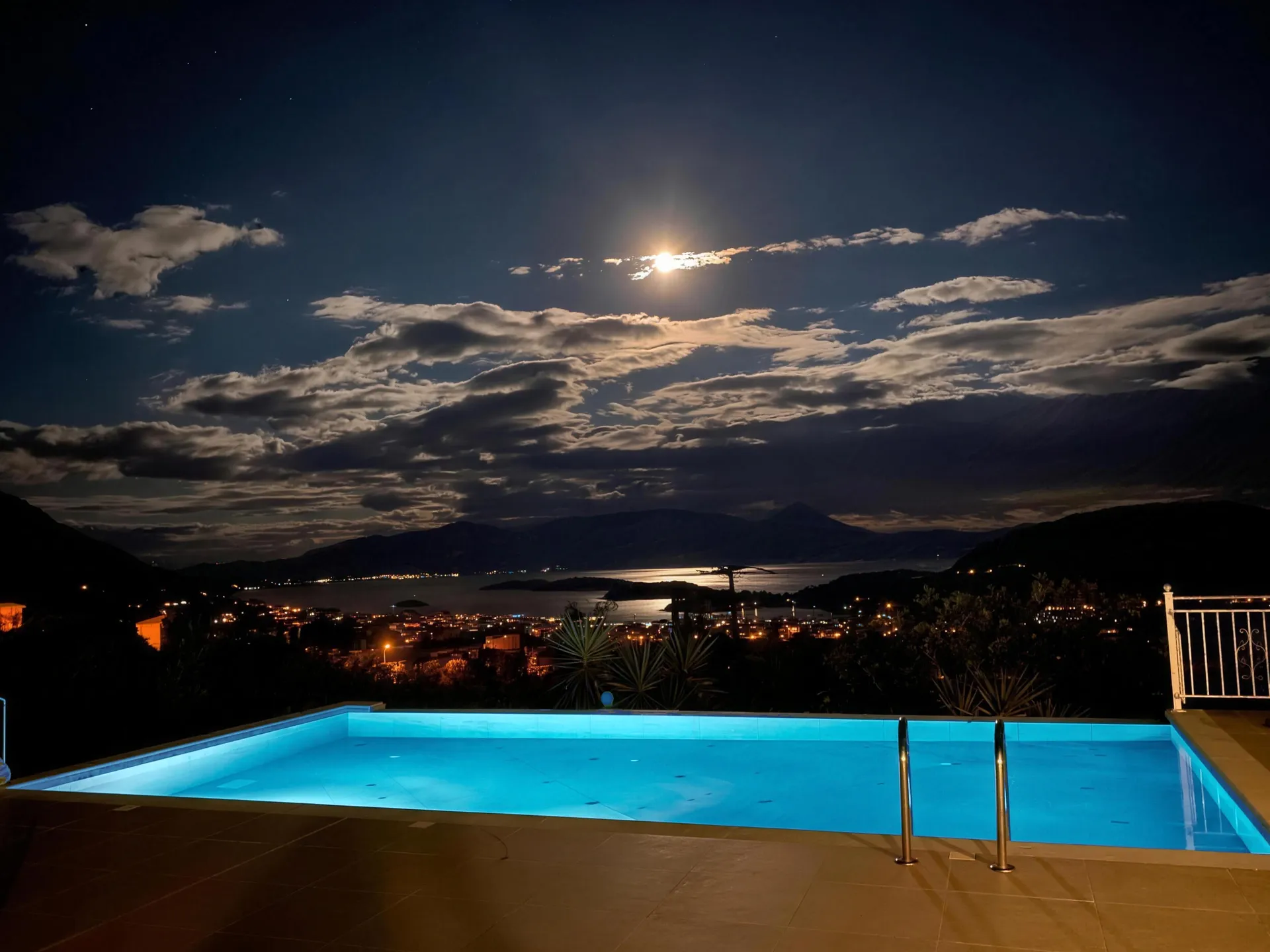
That island is Skorpios.
Aristotle Onassis bought it in the early 1960s and made it the most private address in the Mediterranean. He married Jacqueline Kennedy there in October 1968. He is buried there still, and it has stayed in private hands ever since — no landings, no visitors, no exceptions.
You cannot set foot on it. You can see it from the sunbed, four and a half kilometres out, and the boats from Nidri harbour will take you round it.
The taxi boats leave from Nidri harbour, a few minutes down the hill. Most of them round the island on the way out to Meganisi, which is as close as anyone gets. Everything else worth the drive is on the hosts’ own map, around the island.


Check availability
Send us your dates and the management team will come straight back to you, usually the same day.
Or see live dates and book straight away.
Book on Booking.com